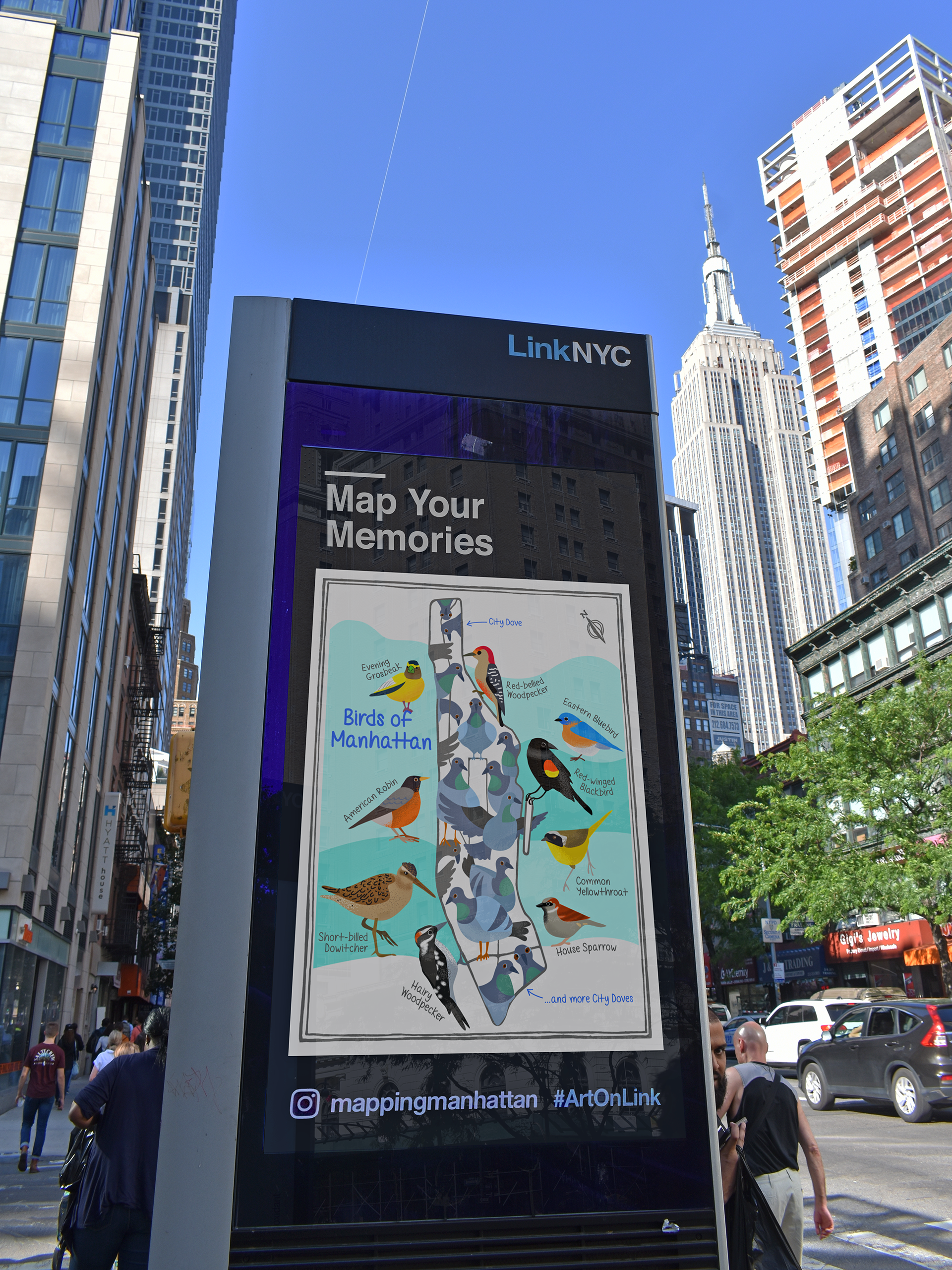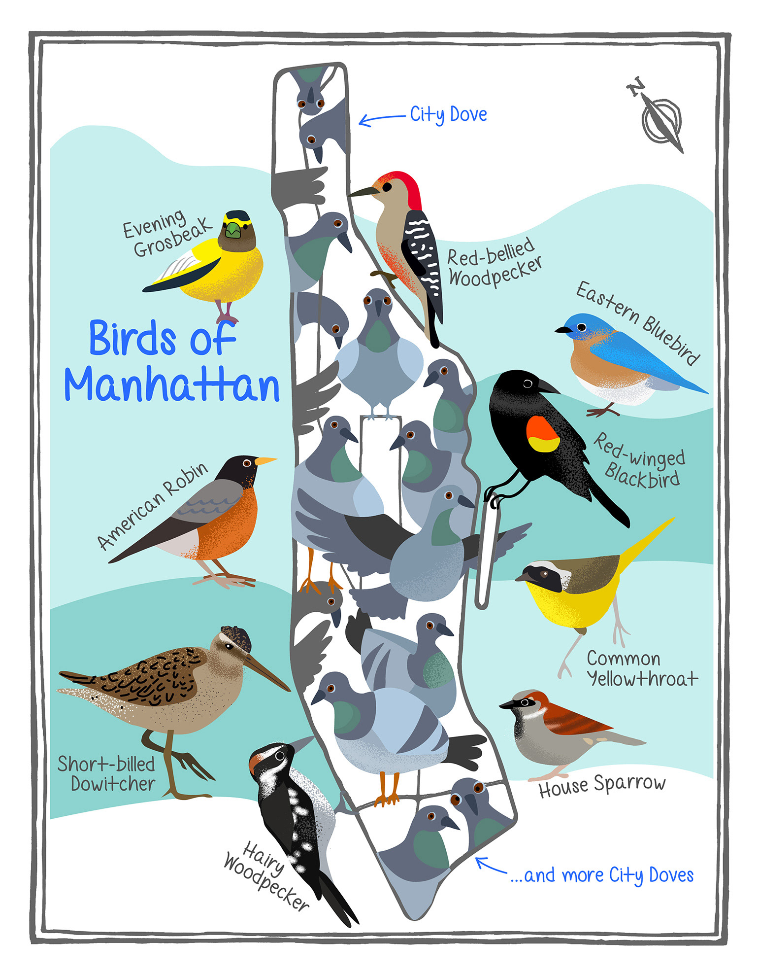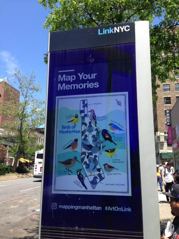
Mapping New York City
My artwork was part of the collective effort 'Mapping New York City,' proudly displayed across all five boroughs on nearly 2,200 LinkNYC kiosks throughout New York City. This collaborative project, led by scholar Becky Cooper, featured select maps illustrated by New Yorkers. Participants were given an outline of their borough and asked to 'map their city,' sharing inspiring and personal narratives about their home.